

Digitally Delivered Solutions
Professional arboricultural expertise supported by efficient, cost effective and accurate GIS digital mapping, for project-ready reporting.
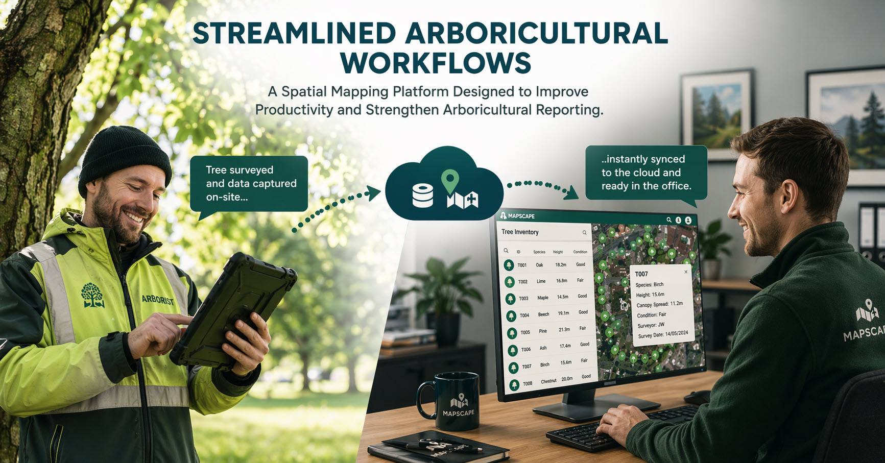
Urban Forestry Group uses Mapscape, our specialist tree survey and management platform built on Esri’s world-leading ArcGIS Online technology, to provide clear and reliable arboricultural information for development projects, estates, homeowners, woodland owners and tree-planting projects
We offer long-term digital tree management solutions for commercial and public sector requirements at any scale.
GPS Tree Mapping | GIS & Aerial Imagery | AutoCAD Integration | BS 5837 Surveys | Efficient Reporting

Accurate, Actionable Tree Information
A tree survey should do more than record information in a report. It should help you understand the site, make informed decisions and communicate clearly with planners, designers, contractors and property teams about the work required.
Our surveyors efficiently capture tree locations, measurements, photographs, observations and recommendations directly into Mapscape while working on site. The information is connected to accurate digital mapping and used to generate site plans, schedules and arboricultural reports without repeatedly transferring data between disconnected systems.
The result is a clearer and more efficient service, with reliable information that can continue to support the project after the initial survey has been completed.
One Connected Service Across the Tree Lifecycle

BS 5837 Tree Surveys
Accurate positional tree information is essential when planning development of buildings and infrastructure near to existing trees.
Urban Forestry Group’s BS 5837 surveying workflow efficiently records tree locations, dimensions, condition, quality categories, canopy spread and root protection areas within a structured digital system.
This BS 5837 survey information is then incorporated into high-quality site plans and, where required:
- Tree Constraints Plans
- Arboricultural Impact Assessments
- Arboricultural Method Statements
– reports to support design, planning and construction decisions.
Tree Risk and Management Surveys
Prioritised Tree Management with STRATA™ (Structural Tree Risk Assessment and Tracking Analysis)
Urban Forestry Group uses Mapscape ‘Structural Tree Risk Assessment and Tracking Analysis’ (STRATA™) workflow as it supports systematic tree risk assessment and works prioritisation across individual trees, properties, estates and larger tree populations.
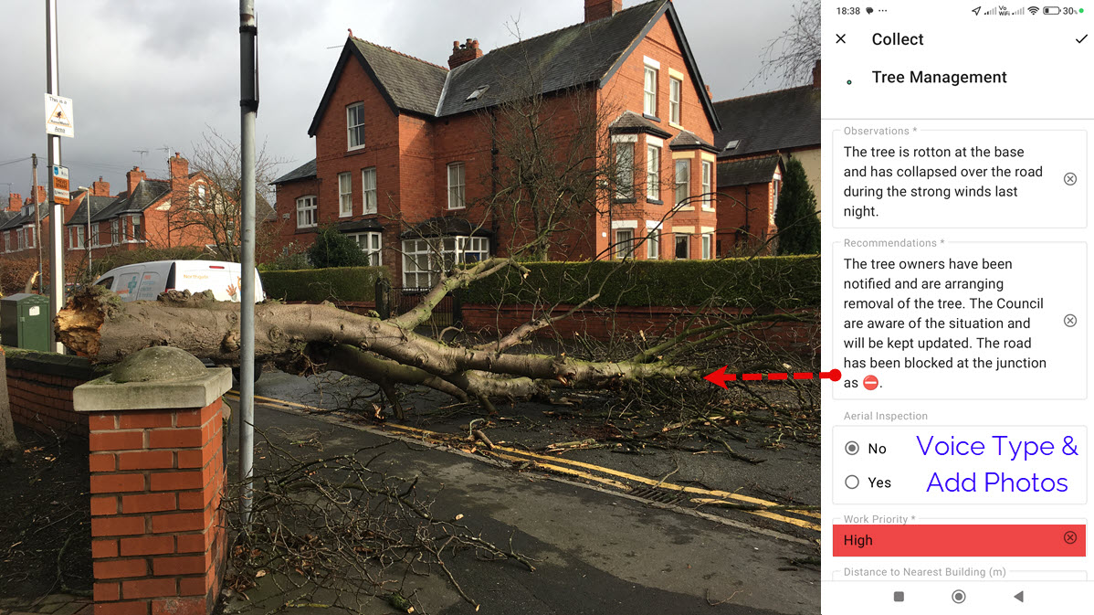
Each tree record includes its location, condition, photographs, recommended works, priority and supporting site evidence. This gives customers a clearer understanding of what requires attention and provides a structured basis for planning budgets, arranging works and scheduling future inspections.
Customer benefits:
- Consistent inspection records
- Clearly prioritised recommendations
- Photographic evidence and mapped tree locations
- Improved continuity between inspection cycles
- Practical information for contractors and property managers

Tree Works – Sign-Off
STRATA™ takes digital tree management a step further by using a simple red-and-green traffic-light system to confirm whether recommended tree works have been completed. This provides a reliable and cost-effective way to demonstrate that duty-of-care requirements are being actively managed.
Our Sign-Off Works workflow can be used to record the status of tree works, completion dates, photographs and any additional observations. This provides customers with a clearer audit trail and helps ensure that outstanding actions are not lost between survey, instruction and completion.
Tree Planting and Establishment
New planting requires more than an initial planting plan. Trees must also be monitored, maintained and replaced where establishment has been unsuccessful.
Mapscape allows planting locations, species, planting details, inspections, photographs and establishment requirements to be recorded within one continuing dataset. This creates a clearer record from initial planting through to successful establishment.


High-quality digital site plans, clear reports and helpful professional advice, all delivered efficiently. See what our customers say.
3D Site Visualisation
Two-dimensional plans do not always communicate the relationship between trees, buildings and proposed development clearly.
Urban Forestry Group uses 3D visualisation to display tree locations, canopy spread and site context in a more accessible forma a more accessible format. This is particularly useful during design discussions, client presentations, line of sight, shade calculations and early project planning.
For a free, no-obligation quotation, tell us about your project and we will recommend the most appropriate survey and digital deliverables.
A More Efficient Arboricultural Service
Greater Accuracy – Information is captured against mapped tree locations and structured survey fields, reducing transcription and duplication.
Faster Delivery – Connected field surveying, mapping and automated outputs help shorten the journey from site visit to completed deliverables.
Clearer Communication – Plans, photographs, schedules and interactive mapping make technical arboricultural information easier to understand.
Better Long-Term Value – Survey information can continue to support works, planting, inspections and future management rather than becoming a static report that is quickly forgotten.
