
Arboricultural Mortgage Reports
Qualified tree surveys for mortgage lenders, insurers and property buyers across Chester, Cheshire, North Wales, Merseyside, Greater Manchester and the North West.
Has your mortgage lender, insurer or building surveyor asked for an arboricultural report?
Urban Forestry Group provides clear, independent assessments of relevant trees and their relationship to residential properties.
Your report is supported by a site inspection, measurements, photographs, mapped evidence and practical recommendations to help the relevant parties make an informed decision.
Prepared by David Winlo, B.Sc. (Hons), MArborA | Professional Member No. PR6276 | 30+ years’ arboricultural experience


Need an Arboricultural Report?
Send us your property address and the exact wording of your lender, insurer, or surveyor’s request. We will review it to provide a quote detailing the proposed work, cost, and timescale. Checking the requirements before instruction helps establish whether our proposed Scope of Works is suitable and whether additional specialist evidence may be required.
To help us provide the quotation, can you provide us with:
- The number and location of the trees to be surveyed
- Lender arboricultural survey requirements
- Any relevant structural survey and/or drainage issues
- Any known information about cracking, underpinning or subsidence
- Relevant photographs
- Access arrangements
What Can an Arboricultural Mortgage Report Tell You?
When a mortgage lender requests an arboricultural survey, they may want to understand whether nearby trees could affect the property.
Our Arboricultural Mortgage Report provides an independent professional assessment of the trees identified in your quotation, including their condition, size, proximity to buildings and any visible tree-related effects. The report includes digital mapping, local soil information and recommendations where appropriate.
Understanding the Limitations
An arboricultural survey is not a structural engineering or building investigation. It cannot establish whether a tree has caused subsidence, heave or foundation movement, or reliably predict whether structural damage will occur in the future.
Where building movement, foundations or drainage are a concern, further investigation by an appropriately qualified specialist may be necessary.
Check With Your Mortgage Lender
Before instructing Urban Forestry Group, we recommend confirming with your lender or valuer, that our proposed Scope of Works meets their requirements.
If your lender has requested specific information, please provide their exact wording before submitting a Works Order. This allows us to review the request and identify if additional specialist investigations may be necessary.
What Your Survey Provides
Your arboricultural mortgage survey report combines professional site inspection with clear measurements, digital mapping and supporting evidence, helping you and the lender understand the trees and their relationship to the property.
Qualified Site Inspection
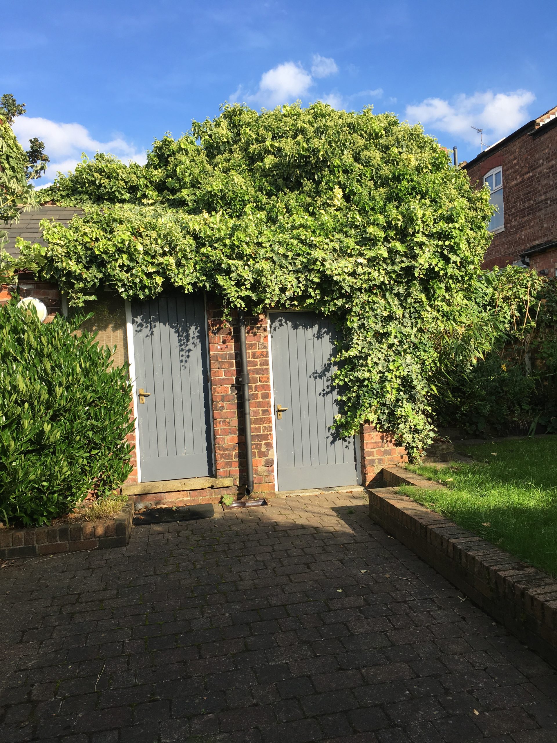
A ground-level inspection recording the species, approximate dimensions, condition and visible features of the relevant trees.
Tree-to-Property Measurements
Measurements showing the distance and relationship between the surveyed trees and the principal building or other relevant structures.
Digital Site Plan
A clear Ordnance Survey Open StreetMap site plan showing the locations of surveyed trees including their distance to the to the property.
Photographic Evidence
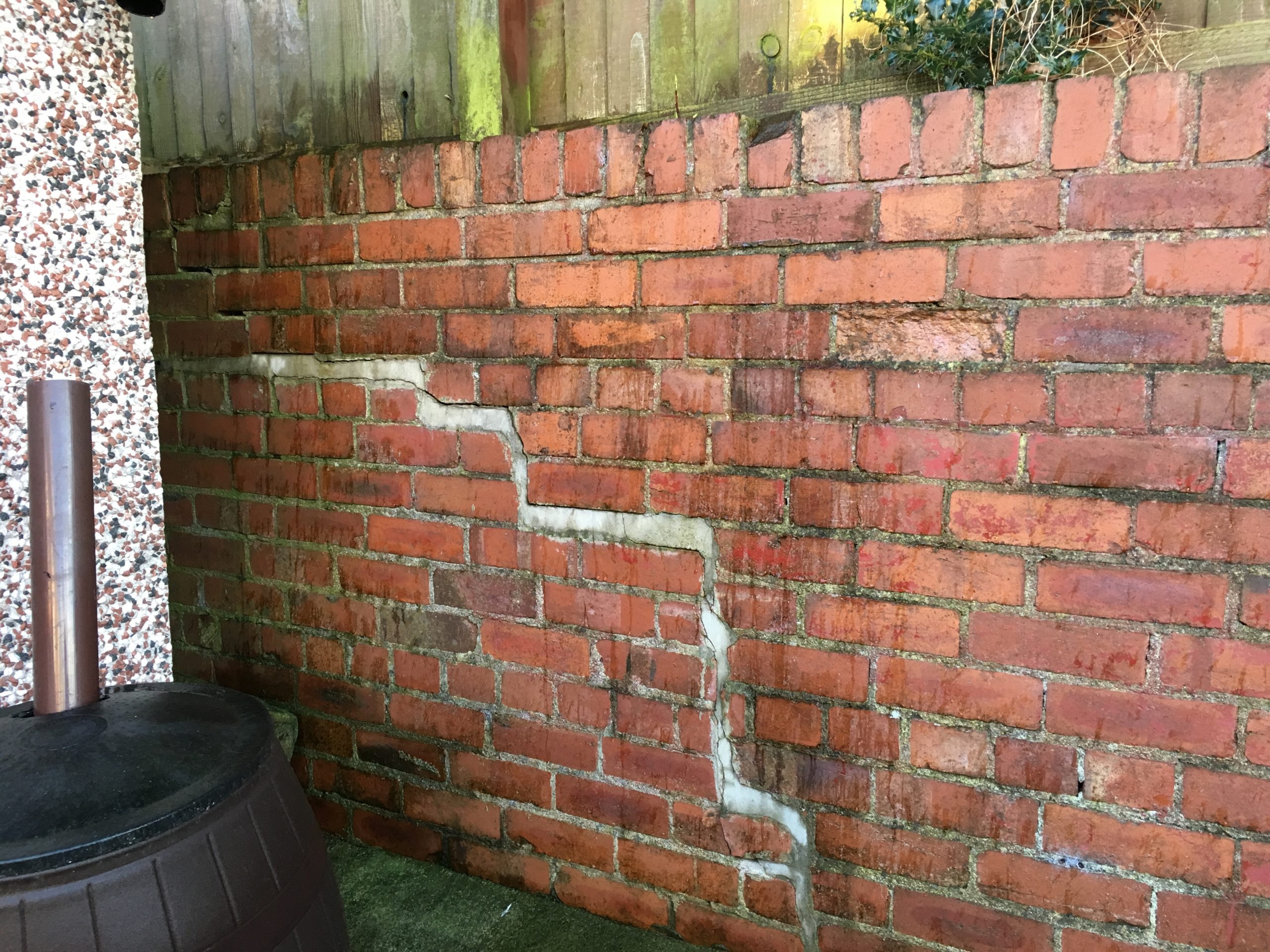
Site photographs illustrating the principal arboricultural observations including any observed exterior damage to built structures.
Soil and Ground Context
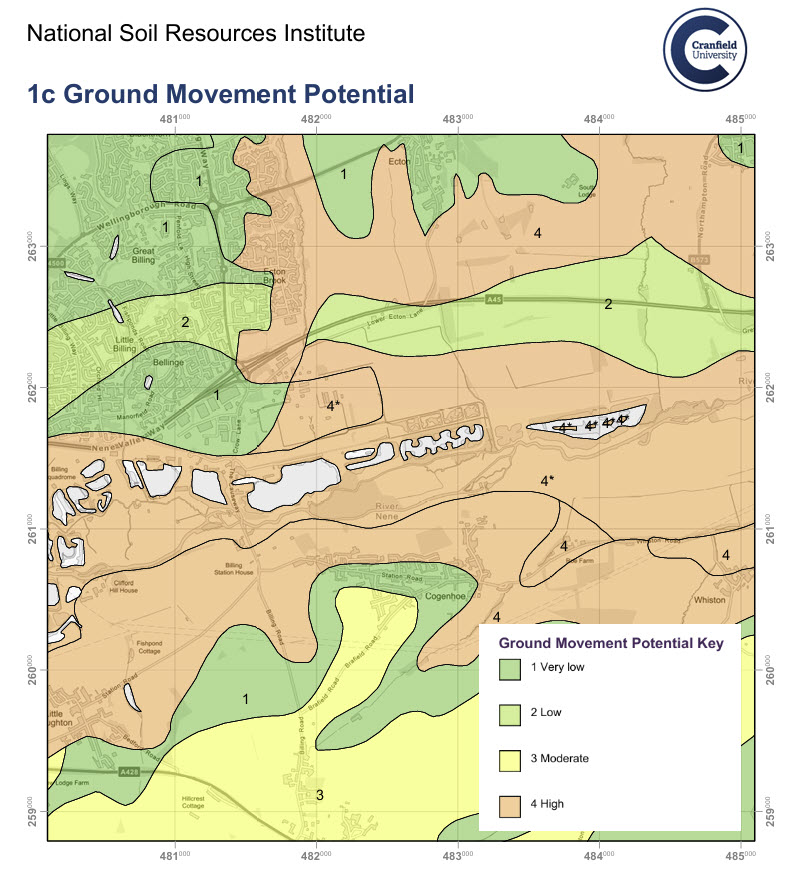
A LandIS report providing postcode-based information about the surrounding soil environment and its potential for ground movement.
Clear Recommendations
Recommendations for pruning or removal where justified, considering root-management options or specialist investigation.
Soil and Ground-Movement Context
As part of your Arboricultural Mortgage Report, UFG obtains a LandIS Soil Site Report based on the property postcode.
The report includes a map showing ground-movement potential across the surrounding area, helping buyers, lenders and surveyors understand whether shrinkable clay may form part of the local ground conditions.
Some clay soils expand when wet and shrink as they dry. During prolonged dry weather, trees and other vegetation may draw moisture from the soil, potentially contributing to ground movement.
The presence of clay or nearby trees does not mean that a property is suffering, or will suffer, from subsidence. UFG considers the soil information alongside the tree species, size, condition, distance from the building and visible site conditions.
This provides valuable wider-area context alongside the tree inspection, measurements, photographs and Mapscape plan. It is not a site-specific soil test, structural survey or prediction of future foundation movement. Where cracking, previous subsidence or other concerns are reported, further specialist investigation may be recommended.
How it works
1. Send the lender’s request
Provide the property address and the wording from the mortgage lender, insurer or surveyor.
2. Receive a written ‘Urban Forestry’ Group quotation
We confirm the proposed scope, fee, information required and anticipated timescale.
3. Site Information
Following instruction, we will send an arboricultural property questionnaire covering information that may be relevant to the survey.
4. Site inspection and mapping
The relevant trees are inspected, measured, photographed and plotted using Mapscape tree management software.
5. Receive your digital report
Your PDF site plan and report and any supporting information are supplied for forwarding to the relevant parties.
Arboricultural Mortgage Reports available across Cheshire, North Wales, Merseyside, Greater Manchester and surrounding areas.
Why choose Urban Forestry Group?
Professionally qualified
Prepared by a highly experienced and degree-qualified Professional Member of the Arboricultural Association.
Independent and proportionate
Clear recommendations based on the arboricultural conditions observed, including that of the surrounding vicinity.
Digitally mapped evidence
Mapscape digital Ordnance Survey Open StreetMap site plan, measurements and photographs that help explain the relationship between the surveyed trees, soil and the property.
Clearly defined scope
You receive a written quotation explaining what is included, the limitations and any information required before the inspection.